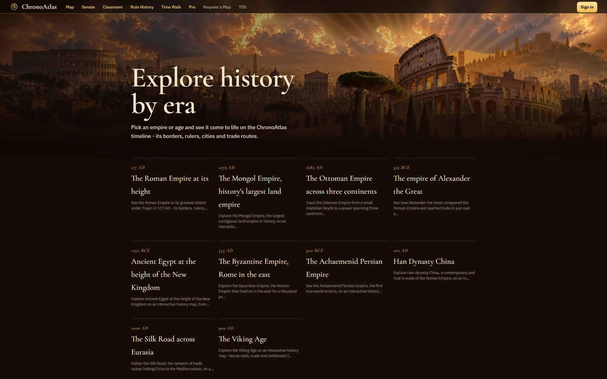
Interactive history map
ChronoAtlas
Six thousand years of history on one timeline map.
In short
- Time range
- 4000 BCE to the present on one slider
- Layers
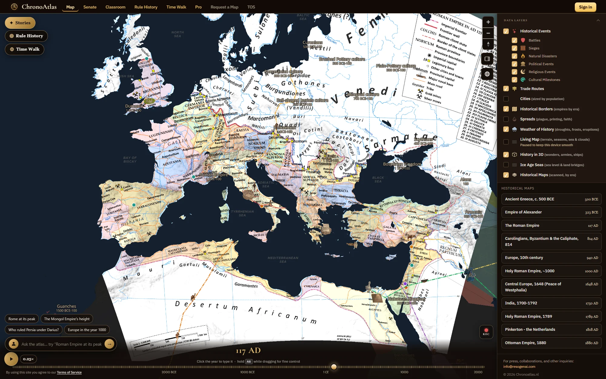
- Borders, rulers, events, trade routes, cities, scanned maps, weather, 3D wonders, ice-age seas
- Price
- The map is free forever; Pro €4.99 a month; Classroom €19 a month
- Besides the map
- The Senate, Rule History, Time Walk AR and six classroom lessons
- Data
- Wikidata, Wikipedia, OpenStreetMap, Natural Earth, historical-basemaps, MapWarper scans
- Sharing
- Every view is a URL with year, position and zoom
What it is
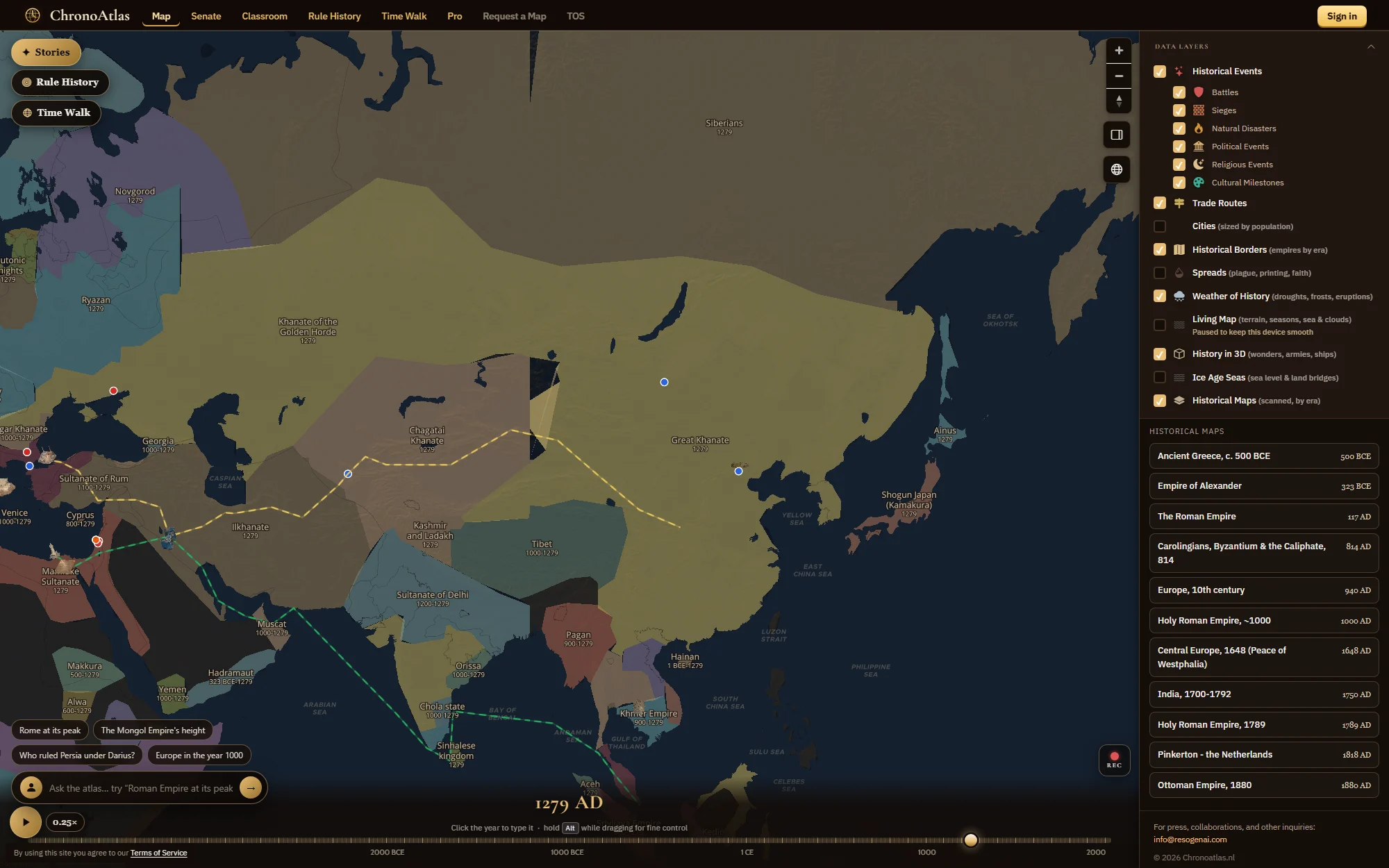
ChronoAtlas is a free interactive historical world map. A single timeline runs from 4000 BCE to the present; drag it and the borders redraw, the rulers change, the trade routes appear and disappear. Click any state to see who ruled it, with portraits and descriptions drawn from Wikidata and Wikipedia. It opens without an account, without ads on the map, and every view you reach is a shareable URL.
It is built for the history-curious, for students and for teachers. Around the map sit a Roman Senate debate game, a ruler game, a phone AR walk through the history of where you stand, and a classroom product with ready-to-teach lessons.
How it works
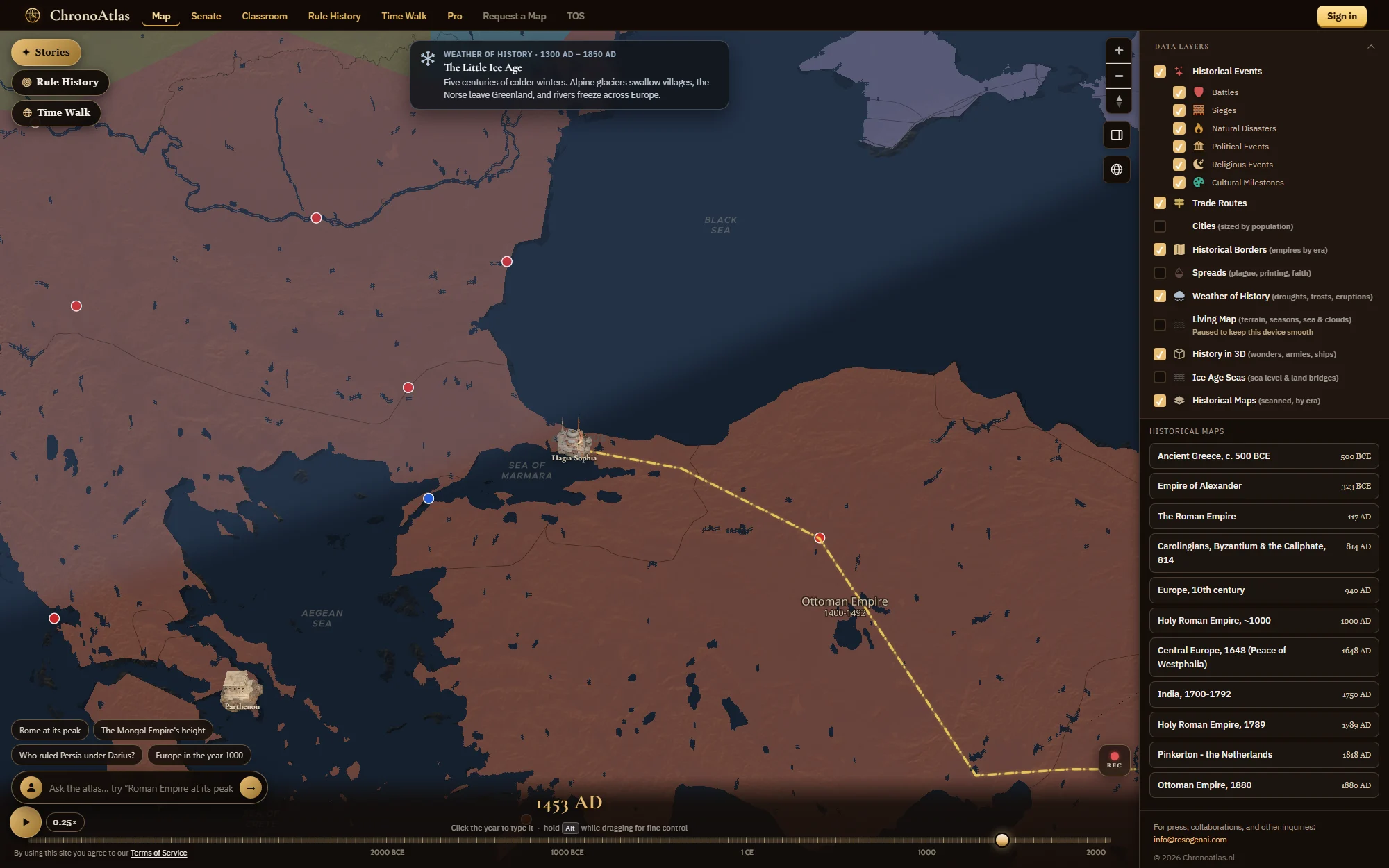
- Pick a year. Drag the slider along the bottom, click the year to type one, or hold Alt while dragging for fine control. Press play and history unfolds at the speed you choose; the recorder exports it as a time-lapse.
- Switch the layers. Historical borders by era, battles, sieges, political, religious and cultural events, natural disasters, trade routes, cities sized by population, the spread of plague, printing and faith, the weather of history, scanned historical maps, ice-age sea levels and 3D wonders, armies and ships.
- Click into the map. A state opens its ruler; an event opens its story; a scanned map lays the original cartography over the terrain.
- Ask the atlas. Type a question in plain English, such as "Rome at its peak" or "Who ruled Persia under Darius?", and the guide moves the timeline, flies to the place and answers in a few lines. Three questions a day are free; the Pro plan removes the limit. You can also talk to a local from the era you are looking at.
Beyond the map
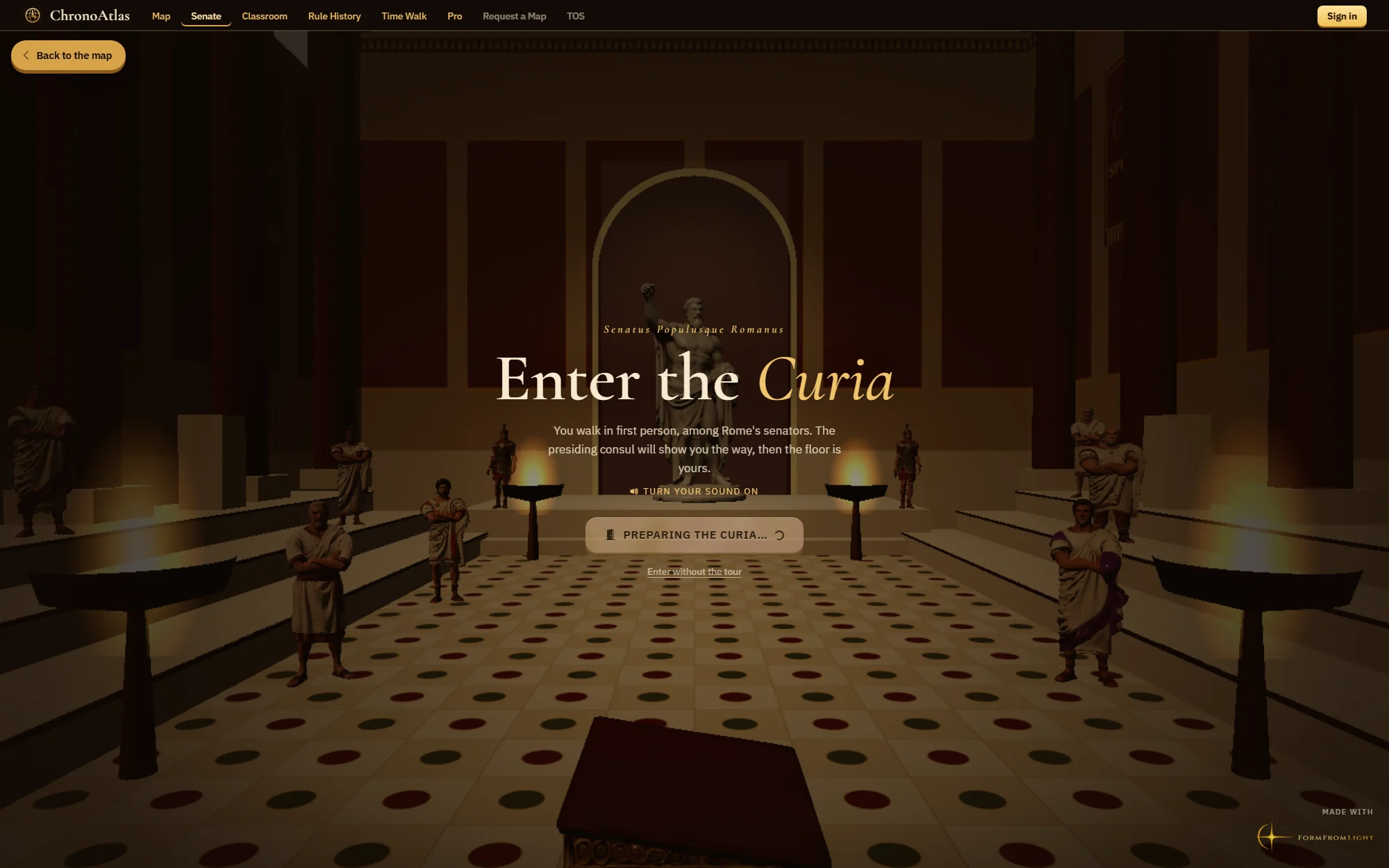
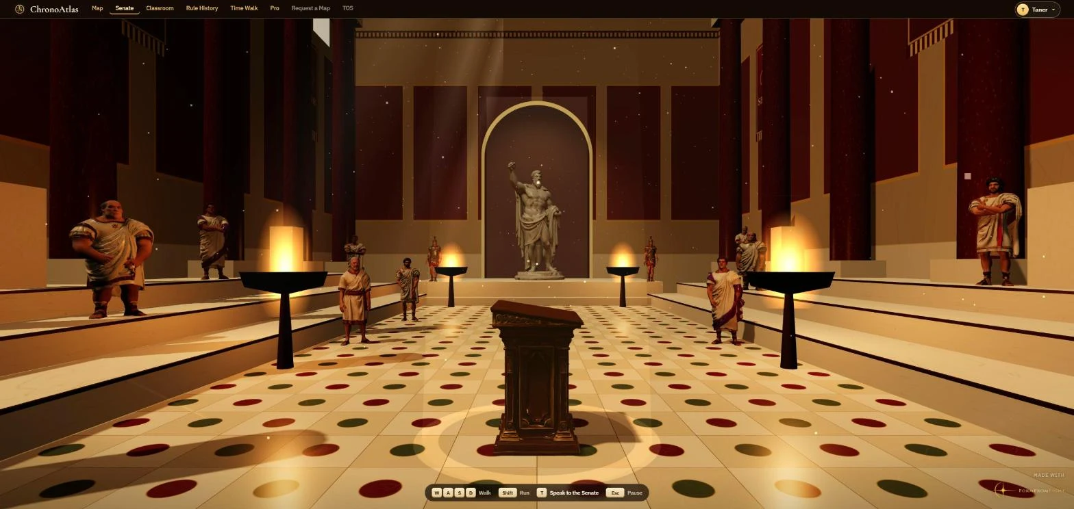
- The Senate. Stand before the Senate of Rome in a first-person 3D Curia, pick a real motion from the Republic (carry the war to Africa in 205 BC, spare Carthage in 150 BC, land for the poor in 133 BC) and argue it against Cato, Cicero and Fabius. Lose, and history plays out as it did.
- Rule History. Pick one of 30 real rulers, from Julius Caesar and Cleopatra to Mansa Musa and Napoleon. Each reign brings four decisions they actually faced, scored on a legacy meter.
- Time Walk. Point your phone and travel through the history of the ground you are standing on, using the camera, compass and GPS. Nothing is stored or sent.
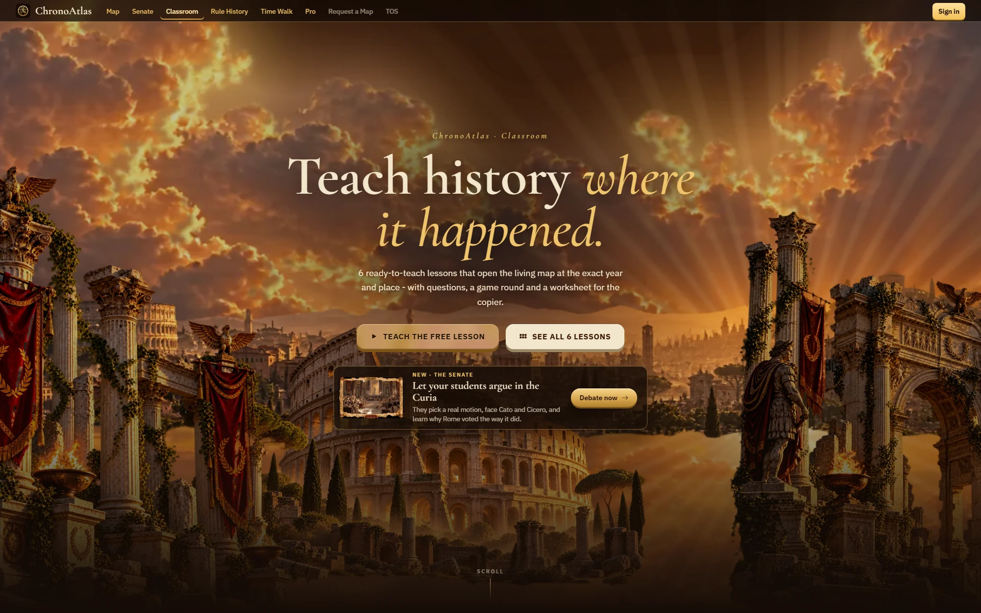
- Classroom. Six ready-to-teach lessons of 45 to 50 minutes, from Alexander to the Dutch Golden Age, each opening the map at the exact year and place with questions, a game round and a printable worksheet.
Pricing
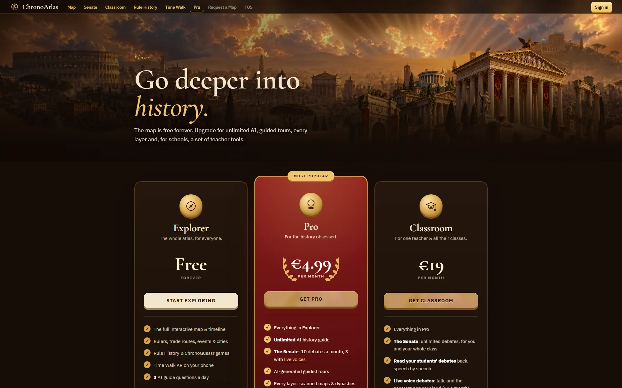
| Plan | Price | Includes |
|---|---|---|
| Explorer | Free forever | The full map and timeline, rulers, routes, events and cities, both games, Time Walk, 3 AI questions a day |
| Pro | €4.99 a month | Unlimited AI guide, 10 Senate debates a month (3 with live voices), AI-generated tours, every layer, HD time-lapse export, Time Walk without ads |
| Classroom | €19 a month | Everything in Pro for one teacher and all their classes, unlimited debates, 20 live voice debates, the six lessons and worksheets, assignable Rule History |
Under the hood
The map renders with MapLibre GL on OpenStreetMap data built by Protomaps, with Natural Earth for sea names and NASA Blue Marble and AWS terrain tiles for the ground. Historical borders come from the historical-basemaps project, rulers, dates and flags from Wikidata, portraits from Wikimedia Commons, and scanned maps through MapWarper. The AI guide and the senators run on OpenAI; payments run through Stripe. The 3D wonders, armies and ships were made with FormFromLight.
The product is explicit about its limits: borders, dates and figures are simplified and may contain errors. ChronoAtlas is for learning and curiosity, not a professional reference.